


The blizzards on the menu at Dairy Queen served by smiling teenagers are wonderful. Not so for the ones delivered by Mother Nature.
What does the National Weather Service have to say?
The NWS defines blizzards as: (The following is taken from the Glossary – NOAA’s National Weather Service)
A blizzard means that the following conditions are expected to prevail for a period of 3 hours or longer:


- Sustained wind or frequent gusts to 35 miles an hour or greater; and
- Considerable falling and/or blowing snow (i.e., reducing visibility frequently to less than ¼ mile).
Key points from this definition:
- Blizzard conditions can occur within a greater weather system. An example would be blizzard conditions occurring within a nor’easter, which is an area of strong low pressure that meets its own defined criteria.
- Blizzards can be within the overall synoptic pattern (i.e., low pressure) or mesoscale (a more local or regional phenomenon).
- For example, prevailing winds after low pressure or frontal passage can often be a driver for blizzard conditions.
Ground Blizzard
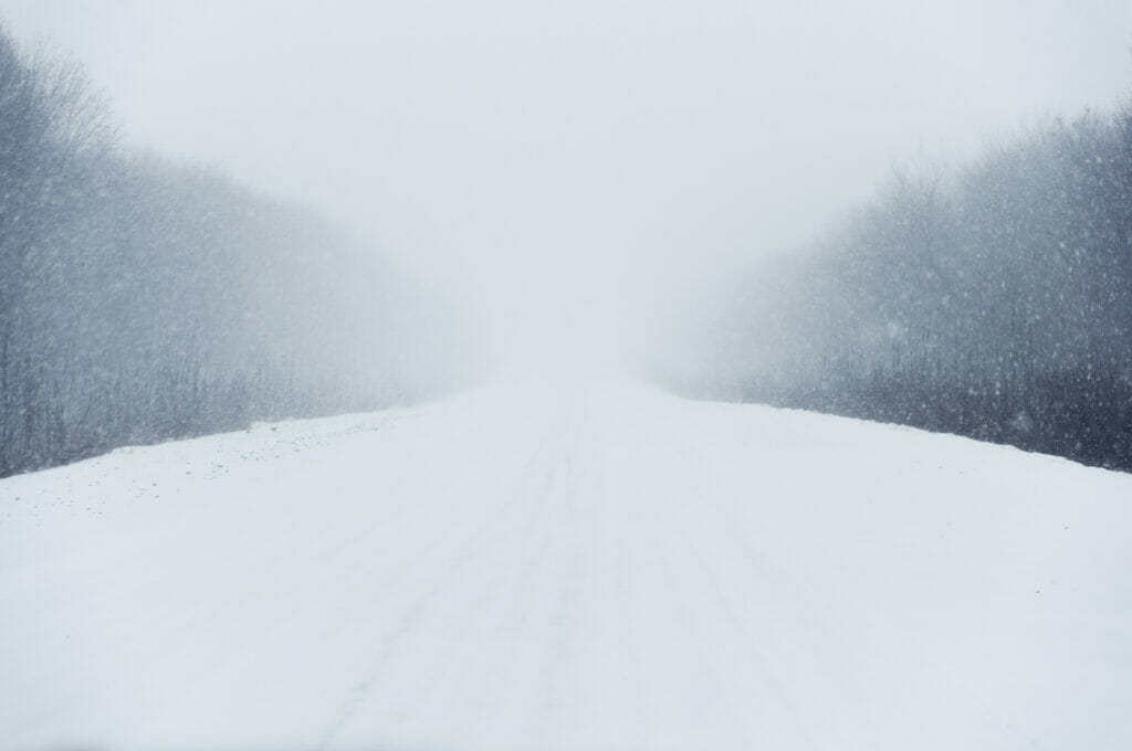
A blizzard does not require falling precipitation or a synoptic-scale weather phenomenon. Ground blizzards occur without precipitation occurring but with conditions resulting from blowing snow. All that is required to commence a ground blizzard would be wind that meets the 35mph requirement, snow on the ground that is dry enough to facilitate blowing and visibility limited to less than ¼ mile for the requisite three-hour duration. Is this Buffalo from November until April? Rarely is the distinction made between falling snow or blowing snow blizzards since both deliver high winds and limited visibility.
It’s not in the METAR
BL is the weather contraction for blowing snow. It is not meant to connote a blizzard. That said, this weather contraction might be your red flag for anticipating such conditions. Also, the TAF does not specifically call for blizzards. In fact, there are no aviation weather products that call for blizzards. You must look elsewhere.
Blizzard warning (Glossary – NOAA’s National Weather Service)
A blizzard warning means that the following conditions are occurring or expected within the next 12 to 18 hours:
1) Snow and/or blowing snow reducing visibility to 1/4 mile or less for 3 hours or longer
AND
2) Sustained winds of 35mph or greater or frequent gusts to 35mph or greater.
There is no temperature requirement that must be met to achieve blizzard conditions.
Find your blizzard here
When you go to www.weather.gov you will find the live national status map depicting weather advisories, watches and warnings. Over time, you will eventually encounter active blizzard warnings issued by The National Weather.
As part of your initial and general aviation weather briefing, you should consult this page for the big-picture view of what you might be up against for a given flight. Just be aware, these are non-aviation weather products.
To summarize
A Blizzard is more about prevailing conditions than it is an actual weather system. Blizzard conditions can develop as a result of a larger weather system or because of very local conditions. Precipitation does not need to be falling in order to meet the criteria for blizzard.
Aviation weather products do not specifically report or forecast blizzards – they imply them. To find an actual prediction of a blizzard, you need to go to a non-aviation weather resource (www.weather.gov) and look for the product named “Blizzard Warning.” Remember, blizzard warnings are non-aviation weather products. This said, the FAA wants you to avail yourself of all pertinent information for a given flight, right? So, it’s okay to look here as a matter of routine. The NWS is a credible resource for all things weather!
From this discussion, know that like lake-effect snows, blizzards can be very local yet they can also be very large scale. The key determinant in this variability is to know the driving force behind such conditions. This issue is especially important not just to your pre-flight decision making, but your in-flight as well. Safe havens from below minimums weather, windshear and contaminated runways could be just a few miles away or far into the distance. The driving meteorological forces are key for you to know and understand. For flight crew, being proactive and conscientious is your job. Know the reasons behind these drivers. Thoroughly review the weather before every flight in order to make prudent pre- and in-flight decisions.


